
Pali Highway Landslide Emergency Response
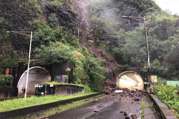
When heavy rainfall caused a disastrous landslide on Oahu, Pali Highway, a busy route connecting Honolulu to Kailua, had to be shut down. Dudek played a critical role in the emergency response and post-disaster recovery, providing precise geospatial data. This response supported the engineering and construction efforts and demonstrated how modern mapping technologies can enhance infrastructure resilience in the wake of disasters.
Project Facts
- Hawai’i Department of Transportation (HDOT)
- Oahu, Hawai’i
- Drone mapping technology aided debris removal and post-recovery rebuilding efforts
The Challenge
The steep and unstable terrain surrounding Oahu’s Pali Highway made collecting, processing, and sharing road conditions with government agencies especially challenging following the landslide. Site access was extremely limited, so drone mapping technology was the only viable way to assess the situation.
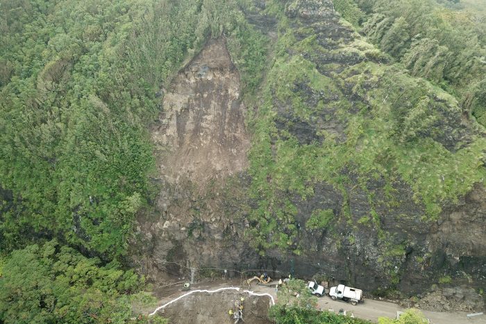
The Solution
Dudek’s streamlined, cloud-based geospatial approach accelerated emergency response and enabled careful debris removal without destabilizing the surrounding terrain. This same data-driven foundation laid the groundwork for post-recovery engineering and construction, helping rebuild the highway with long-term resilience in mind.
The Impact
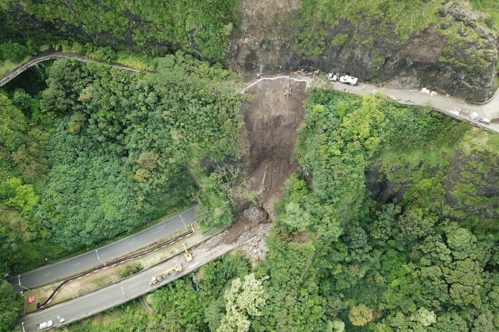
Precise mapping data was instrumental in safely and efficiently reopening the Pali Highway, restoring a vital transportation corridor, and reinforcing the value of modern geospatial tools in disaster response and infrastructure resilience.
Next Project
Coast Boulevard Emergency Sea Cave Stabilization
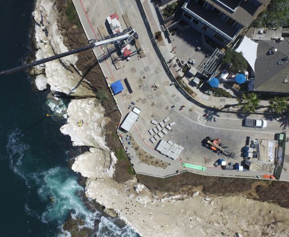
The City of San Diego’s Coast Boulevard Sea Cave Emergency Stabilization project addressed an eroding sea cave and improved the storm drain system, roadway, and sidewalks impacted by construction. Dudek provided storm drain system design, aerial surveying and mapping, water pollution control planning, and construction monitoring.
View ProjectCurious how our passionate experts can help you DU more®? Get in touch!