
San Diego Bay Sustainable Shorelines Atlas
As shoreline infrastructure around San Diego Bay continues to change through adaptation and redevelopment, there are opportunities to implement nature-based strategies. The Sustainable Shorelines Atlas is an interactive tool that identifies where nature-based strategies are suitable, providing a starting point for site-specific evaluation. Developed for the San Diego Unified Port District and the U.S. Navy, it aligns with the Integrated Natural Resources Management Plan vision for multi-benefit shorelines that support both agencies’ missions.
Project Facts
- San Diego Unified Port District and the U.S. Navy
- San Diego Bay, California
- Decision-support tool to support cross-jurisdictional prioritization and accelerate site-specific studies
- Habitat enhancement, water quality improvement, carbon sequestration, and coastal resilience across the Bay
The Challenge
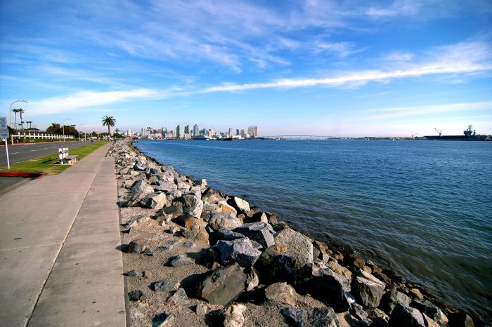
Many of San Diego Bay’s hard-engineered shorelines are aging, with revetments, seawalls, bulkheads, and wharves built decades ago and reaching the end of their design life. As these structures deteriorate or require repair, there is a unique opportunity to retrofit them with nature-based strategies that provide both shoreline protection and ecological benefits in the face of sea level rise.
The Atlas offers a comprehensive, baywide framework to help identify where such strategies can be integrated into shoreline planning efforts.
The Solution
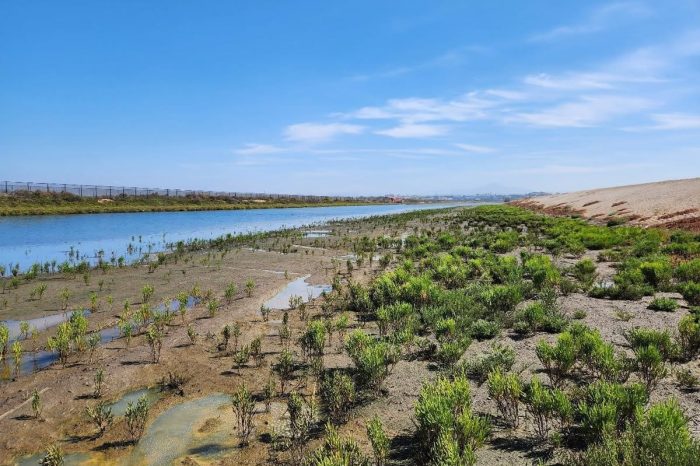
Dudek developed the Atlas to translate complex physical, ecological, and land use conditions into actionable guidance for multi‑benefit shoreline projects. The Atlas organizes San Diego Bay into 14 Shoreline Management Units (SMUs), each defined by distinct physical and ecological conditions that influence how nature-based strategies can function.
Across the ten strategies, suitability varies based on factors such as shoreline geometry, wave climate, existing development, and available space for natural features. Using defined suitability criteria and a semi-quantitative evaluation method, the Atlas ranks each strategy at the SMU scale, revealing which approaches are most viable and how they can work together within each unit.

The Impact
Coastal planners, scientists, engineers, and other stakeholders can use the Atlas to move from broad resilience goals to site-specific, implementable solutions along the Bay’s diverse shoreline. The Atlas suitability analysis provides a strong technical foundation for project development, screening out infeasible strategies and narrowing the field to a focused set of viable options.
These strategies can then be evaluated based on their relative benefits and constraints, also described in the Atlas, directly informing site-specific planning and design.
What We Did
- Coastal Engineering
- Coastal Planning
- GIS
- Graphic Design and Report Layout

Next Project
Port of San Diego Chula Vista Bayfront Master Plan
The Chula Vista Bayfront Master Plan serves as the guide for redeveloping 535 acres of prime bayfront property in southern San Diego County. Development comprises a resort conference center, residential/retail area within the Harbor District, and park and natural open-space areas, as well as associated infrastructure.
View ProjectReady to Du More? Find out how we can help achieve your goal!